
Geospatial data has become an integral part of many government processes, including calls to evidence, statutory consultations and urban planning. With the UK’s Geospatial Commission introduction of the Geospatial Strategy 2030 initiative, we aim to be at the forefront of using geospatial analysis to better public life and living spaces.
But the ecosystem of geospatial data is a complex one and the sheer number of different software, acronyms and processes can be overwhelming. This post aims to explain some of the jargon and demystify the world of geospatial.
What is Geospatial Data?
Geospatial data is data that has a geographic component, or “location data”. In other words, data that’s connected to a physical place in some way. It could be postcodes, coordinates, addresses, etc.
Most data used by government has a geospatial element that provides insights into patterns and dynamics of a particular area including land use, demographics, transportation and environmental features.
Using GIS mapping technology, we can perform geospatial data analysis to make informed decisions on placemaking locations for a more human-centred approach to urban planning.
Benefits of Geospatial Data for Urban Planning
Local authorities now frequently refer to geospatial data for placemaking initiatives and development plans. With open-source data providing invaluable context and analytics for stakeholders to build initiatives, geospatial planning has changed the way the country develops communities and the places we live, work and play.
But more than that, geospatial data offers a wider insight to the rapidly changing way we associate with the world around us. Stakeholders can use spatial analysis to identify patterns and trends within a community, leading to more informed decision-making that prioritises the areas in greatest need.
Using it, we can develop our urban centres with care and consideration for the world around us. Geospatial data provides information that takes environmental considerations into account, mapping ecosystems, habitats, biodiversity areas etc. so that we can account for it in spatial planning. It helps us develop to live in the world, rather than over it.
Geospatial Data and Public Engagement

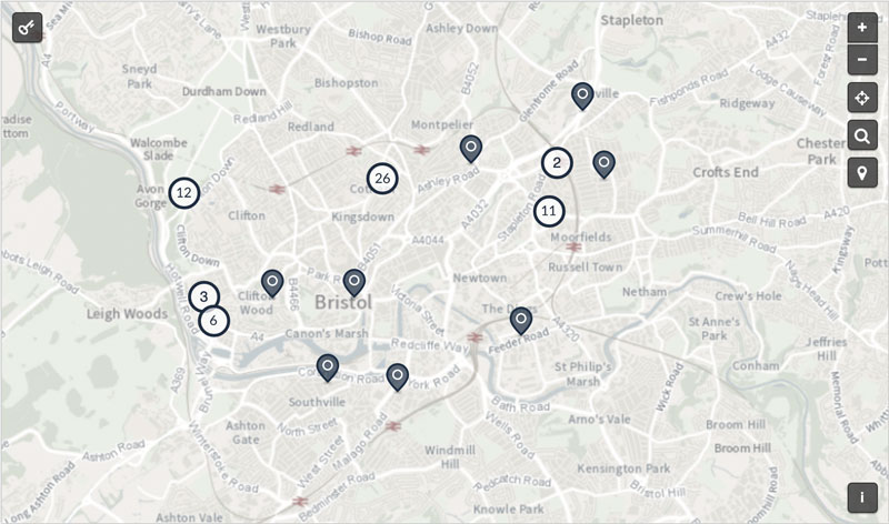
Using interactive maps in your statutory consultations is a highly effective way to get rich data and responses from citizens. Geospatial data provides context for suggested future initiatives and allows the public to see how a proposal would actually fit into their community.
By using citizen engagement platforms that include spatial data sources, like Citizen Space Geospatial, local authorities can lower the barriers to accessibility and get a wider range of contextualised responses. Not only that, but on their end, they can encourage participation and better visualise community feedback through geospatial mapping.
Geospatial Terms Glossary
Basemap
A basemap provides a foundational map layer for additional geospatial data to overlay. It gives a point of visual reference for the area’s topography and terrain and information like roads, landmarks etc. In essence, basemaps allow you to see what already exists in terms of infrastructure, so you can overlay new ideas and plans on top.
Geocoding
Geocoding converts text-based address information and provides the coordinates of the associated location. This allows governments to see sites of commonly reported issues e.g potholes.
GeoJSON
A GeoJSON is a format for representing geographic data, such as coordinates or points, and any attributes that said point has. If a council has information on all lampposts in a certain boundary, for example, that information is most likely stored on a GeoJSON structured data file.
When combined with GIS software you can create interactive maps, using GeoJSON data for better geospatial visualisation.
Geoprocessing
Geoprocessing is used to analyse and extract geospatial data from GIS software. Using it you can draw and add to existing geospatial data to better see how ideas would look in reality during spatial planning.
Geo-intelligence (GEOINT)
GEOINT integrates different types of geospatial information to produce actionable insights for spatial planning.
GIS
GIS stands for Geographic Information System. This software displays and makes sense of geospatial data. With GIS mapping, users can overlay different geographic information on a digital map to gain spatial insights. This enables stakeholders to see urban planning opportunities that align with a place-based approach to planning.
GIS Lite
It’s GIS – but for your phone! GIS Lite doesn’t have the same full capabilities as other GIS data mapping software, but it’s user-friendly and accessible for those with limited GIS experience.
KML
KML, which stands for Keyhole Markup Language is a file format that represents geographic data, similarly to GeoJSON. The key difference however, is that KML is usually used by systems like Google Earth, using visual points and icons to represent the geospatial elements of the area.
NPPF
The NPPF, or National Planning Policy Framework sets out government’s planning policies for England and how these are expected to be applied. The devolved governments of Scotland, Wales and Northern Ireland each have their own planning guidance:
- The Scottish Government’s National Planning Framework
- The Welsh Government’s Planning Policy Wales
- The Northern Ireland Executive’s Strategic Planning Policy Statement
OS (Ordnance Survey)
The Ordnance Survey is the UK Government Mapping Department. All of HM Land Registry’s plans are based on information supplied by Ordnance Survey. OS supplies geographic information that is then used widely by national and local UK governments for geospatial planning.
Polygons
Polygons are representations of areas. A polygon is defined as a closed line or perimeter completely enclosing a space. A polygon can mark out areas of any size as a data point – a council boundary, a country, a residential garden. Sometimes used interchangeably with the word shape in geospatial data.
QGIS
Quantum GIS, or QGIS, is an open-source GIS software widely used by government agencies and organisations for geospatial analysis. Thanks to open data, these geospatial datasets can be shared and utilised by anyone, providing a clearer picture for urban planning.
Raster Data
Raster data is a spatial model that stores geographic information in a grid format of equal-sized cells. Raster data provides information on each specific cell point and its attributions such as temperature, land cover type etc.
Topography
Topography refers to geospatial data that allows you to see the physical features of the Earth in relation to your spatial planning. E.g hills, mountains, lakes, deserts, areas of elevation etc.
Topology
In GIS spatial analysis, topology shows the relationships between different geographic features in a specific location; how they are connected and their relationship. E.g can you walk from point A to B?
Vector Data
Vector data is used in geospatial technology to represent geographical figures as lines or polygons as defined by their geographic coordinates.
This is just a small selection of terms that we think are useful to know for anyone looking at incorporating geospatial into their engagement process. To read more about Citizen Space Geospatial, here’s a good place to start.
